


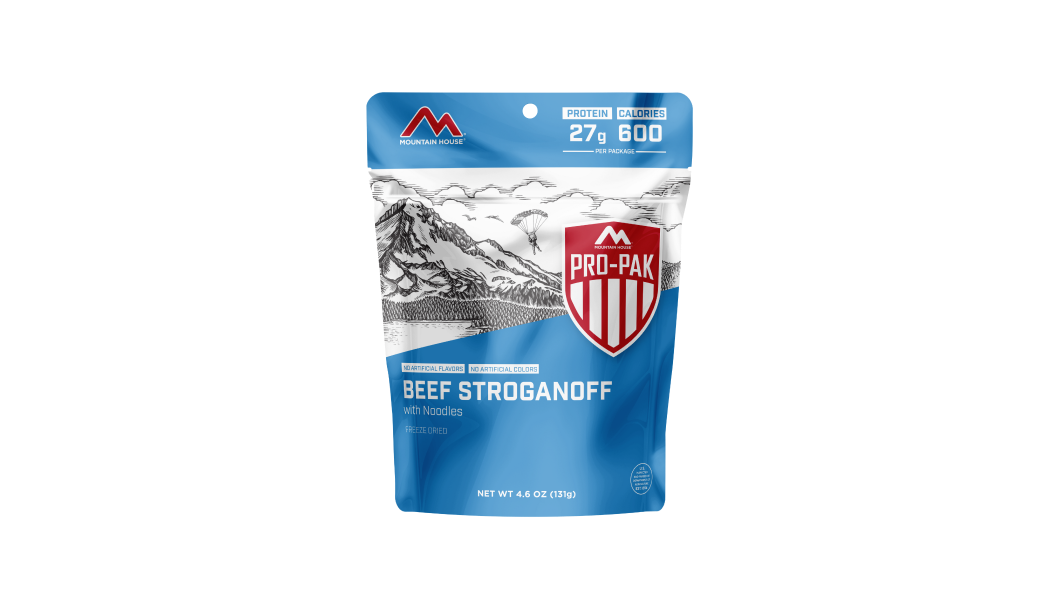


Inspired for an Adventure? Check out Beef Stroganoff - Pouch and Beef Stew - Pouch
Free Ground Shipping On All Orders

6 Awesome High-Elevation Trails in the U.S.
This time of year, the high-country wilderness is mainly the domain of experienced winter adventurers, but it’s certainly an excellent stretch of the calendar to start planning some summer and fall adventures up there on the roof of the world!
In this article, we round up some of the finest United States hiking trails at high elevation: routes that take you up above timberline, routes that hug long knife ridges with hundred-mile sightlines, routes that leave the hustle and bustle of the lowlands far beyond and get you into truly rarefied backcountry air.
We’re not covering anywhere close to all the best altitude hikes in the U.S., mind you - there are loads of walk-up summits alone that could qualify, not to mention such classic mountain-circumambulating routes as the Timberline Trail around Mount Hood and the Wonderland Trail around Mount Rainier - but rather, profiling just a representative handful in both the West and the East. Read on and start dreaming of future mountain highs!
1. John Muir Trail (California)

Image by Chuck Dresel from Pixabay
Among the best high elevation hikes not only in the U.S. but in the world, the John Muir Trail - also known by the indigenous name Nüümü Poyo, “The People’s Road” - hugs the High Sierra for more than 200 miles between Yosemite and Sequoia-Kings Canyon national parks.
The northern trailhead is Happy Isles in Yosemite; the southern terminus is the crown of the highest peak in the Lower 48 states - 14,505-ft Mount Whitney.
Much of the John Muir Trail (which for most of its length overlaps with the Pacific Crest National Scenic Trail (PCT)) lies above 8,000 feet, and it crosses a slew of skyscraping mountain passes, including 13,117-ft Forester Pass, the apex of the PCT. Most hikers attempt the John Muir Trail from north to south, partly to build up steam for the higher southern portion.
The scenery along the John Muir Trail dazzles the whole way through, from the soaring granitic and volcanic peaks, to the great alpine plateaus, to a surplus of gorgeous water bodies such as Thousand Island Lake and the basalt ramparts of the Devils Postpile.
2. Camp Muir Hike (Washington)

Image by amelialaura from Pixabay
Well, what do you know: the Scottish-American naturalist John Muir happens to be the namesake of two of the treks on our list, as it happens! The hike up to Camp Muir from Paradise on the south shoulder of Mount Rainier approaches honest-to-goodness mountain climbing, and for strong hikers who know how to travel over snow and ice it’s an incredible taste of what true mountaineering on one of North America’s grandest summits is like.
It’s a full-day, nine-mile round-trip affair that begins on the paved Skyline Trail out of Paradise. After a little more than two miles, hikers leave the marked trail behind at Pebble Creek and ascend about the same distance (and nearly 4,000 feet) up the Muir Snowfield, threading between the Paradise, Nisqually, and Cowlitz glaciers and passing Anvil Rock to reach the stone shelter and alpinists’ tents of Camp Muir at 10,188 feet up.
This is as high up Rainier as you can go without a climbing permit, and the up-close views of the Tahoma heights (including titanic Gibraltar Rock and the great, spilling-down glaciers themselves, part of the mightiest ice mantle of any peak in the conterminous U.S.) are extraordinary.
Needless to say, you should be well-versed in backcountry navigation, including in low-visibility conditions; straying off the Muir Snowfield onto the glaciers is easy to do if you’re not careful, and their crevasses represent real hazards. Also pay close heed to the forecast, and don’t risk the hike if bad weather is possible.
3. Highline Trail (Utah)

Image by marie84047 from Pixabay
The roughly 80-mile-long Highline Trail is aptly named: this traverse of northeastern Utah’s outstanding Uinta Mountains stays above 10,000 feet for the most part as it crosses one of the greatest alpine blocks in the Rockies.
The Uintas are famously one of the few west-east-trending major mountain ranges in North America, and they’re spellbinding, what with their reddish crests, huge cirques, rolling tundra, and abundance of remote tarns. The trail strikes through Utah’s biggest wilderness area, the 456,705-acre High Uintas Wilderness.
Hikers on the Highline surmount seven passes, including 12,700-ft Anderson Pass, the high point of the trail; close by looms Utah’s loftiest peak, 13,528-ft Kings Peak.
You’ve got an excellent chance of seeing wildlife, including elk and moose; you’ll also want to keep your eyes peeled for gathering thunderheads, as afternoon electrical storms are common and threatening in the vast above-timberline country of the High Uintas.
4. Sky Rim Trail (Montana)

Image by Steppinstars from Pixabay
More than a few people who stick to the road corridors in Yellowstone don’t think of America’s oldest national park as an alpine destination in the sense of Grand Teton, Glacier, or Rocky Mountain national parks. That’s a misconception, though: Yellowstone lays claim to some stunning high country, particularly in the Gallatin and Absaroka ranges, but it’s deliciously remote.
Perhaps the premier high-country traverse in the park is the Sky Rim Trail, which runs along the Yellowstone National Park/Gallatin National Forest boundary up in the burly Gallatins.
You can make a couple of different circuits accessing the Sky Rim Trail off Highway 191 on the northwest side of Yellowstone, but the fullest sense of this big country comes from the roughly 21-mile shuttle route using the Dailey Creek and Specimen Creek trailheads.
The Sky Rim proper runs between Daly (Dailey) Pass in the west and 9,855-foot Sheep Mountain in the east, with the trail’s top-out at 9,889-ft Big Horn Peak in between.
Stunning scenery, including looks at the highest summit in the Gallatins, the fierce 10,969-ft Electric Peak to the southeast, and an excellent chance at spotting bighorn sheep make this a truly premier Yellowstone adventure.
5. Presidential Traverse (New Hampshire)

Image by FotoXCapture from Pixabay
One of the legendary hiking challenges in the U.S., the Presidential Traverse definitely proves that high-country odysseys aren’t the purview of the West alone. This roughly 23-mile undertaking, which involves close to 9,000 feet of total elevation change, follows the bold spine of the Presidential Range, the highest crest of New Hampshire’s White Mountains and home to some of the rare true alpine tundra of the East.
The presidentially named peaks summited on the traverse include, from north to south:
- Mount Madison (5,367 foot)
- Mount Adams (5,793 feet)
- Mount Jefferson (5,712 feet)
- Mount Washington (6,288 feet)
- Mount Monroe (5,372 feet)
- Mount Eisenhower (4,760 feet)
- Mount Pierce (4,310 feet)
The physical challenge of the Presidential Traverse is very real, and the dangers of nasty conditions and disorientation are as well. After all, Mount Washington (the highest peak in the Northern Appalachians and the Northeast’s only 6,000-footer) is infamous for its tempestuousness: it’s home to “the World’s Worst Weather,” as the tagline goes.
6. Great Range Traverse (New York)

Image by Dylan Alvis from Pixabay
There’s not really one agreed-upon definition of the Great Range Traverse, but hoofing it along the dramatic divide in the Adirondack High Peaks between Rooster Comb and Mount Marcy fits the bill in our eyes.
This route takes you on a dizzyingly up-and-down hike along the backbone of that Adirondack subsection called the Great Range, which includes such superlative mountains as Lower and Upper Wolf Jaw, Gothics, Saddleback, and Haystack.
While variously included or not with the Great Range proper, Mount Marcy (the 5,344-ft high point of the Adirondacks) is a fitting climax to many a Great Range Traverse.
Trailheads such as Garden and Rooster Comb in the Keene Valley area provide good start/end points for one of the crowning adventures in one of the East’s crowning mountain ranges.
Preparing for High-Elevation Hikes

Image by Steven Weirather from Pixabay
Hiking at altitude - particularly the 6,000 or 7,000+ foot heights that some of the Western trails spotlighted above attain - demands an extra level of fitness and presents its own special risks. Pay attention to the total hiking elevation gain involved in a given route; this and the general elevation of a trail will help you get a sense of the physical demands and how to best prepare for them. Here are 3 essentials points to keep in mind:
- Physical conditioning is essential, whether you’re tackling an epic dayhike such as the Great Range Traverse or a multi-week backpack on, say, the John Muir or Highline trails. Hit the gym, pound out plenty of stair-climbs, and take as many close-to-home hiking (or snowshoeing) trails as you can to hone your strength and endurance.
- Always pay close attention to weather forecasts, and carry a portable weather radio so that you can stay abreast of conditions when hiking at high altitude. Depending on the season and location, avalanches or thunderstorms may be the chief hazards, but also safeguard yourself against the subtler dangers of sunburn, heatstroke, and dehydration.
- Contain your food. Most of the routes above traverse black-bear country, and the Sky Rim Trail in the Gallatins takes you through some prime grizzly haunts as well, so secure your food and either odorous items in bear canisters or by hanging bear bags if you’re backpacking.
Tap Into Those High-Country Vibes

Image by Tip Kilby from Pixabay
Hungry for those sweeping views and top-of-the-world ambience? Start scheming up some high altitude hikes in the U.S. now, and you’ll be all set for a summertime traverse up in the clouds!

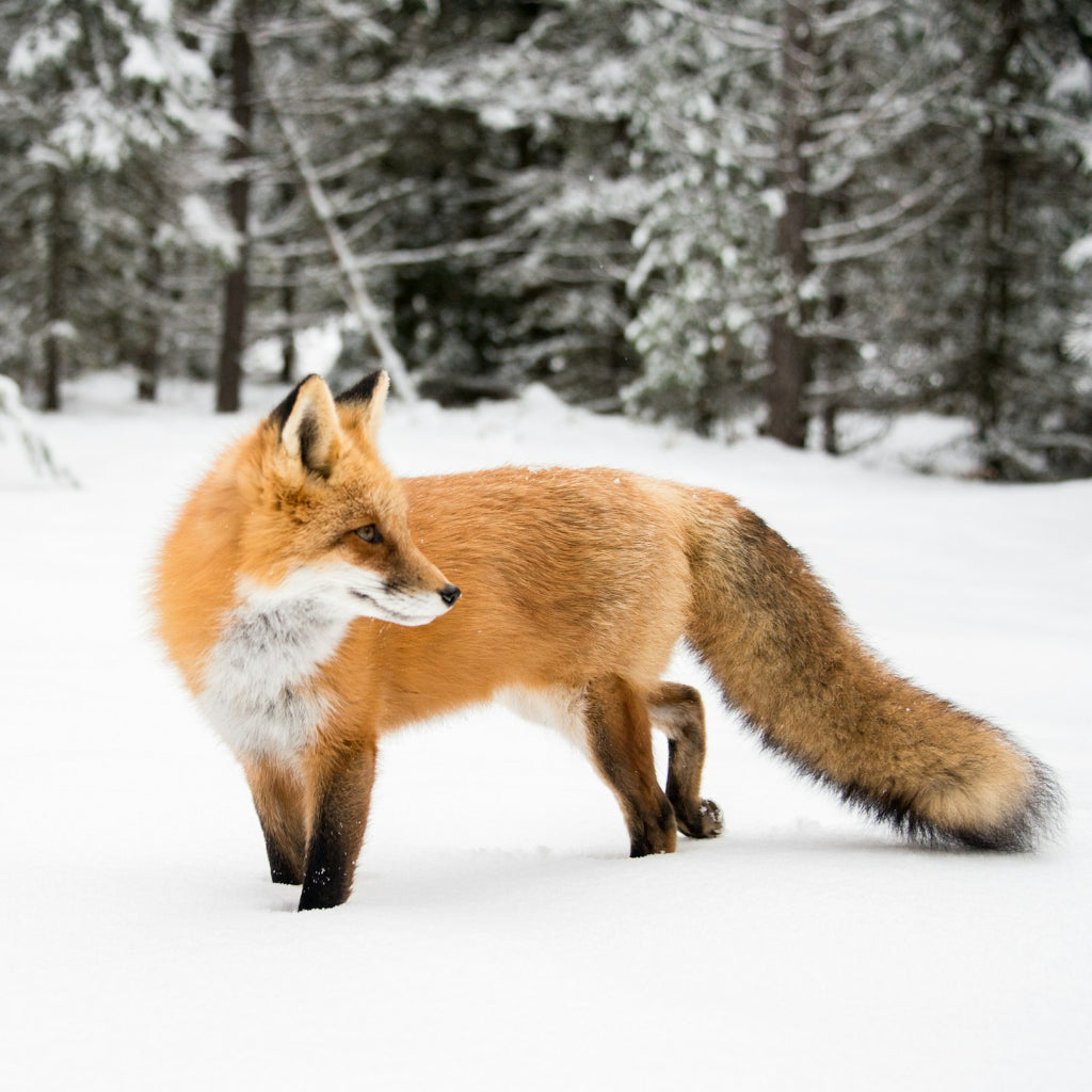
Best Places to Go Winter Wildlife Watching in North America
Winter sure can bring some fierce weather: blizzards, ice storms, cold snaps, freezing rain—well, you know the drill. It also means prime time for snowsports, from snowboarding...
Read more

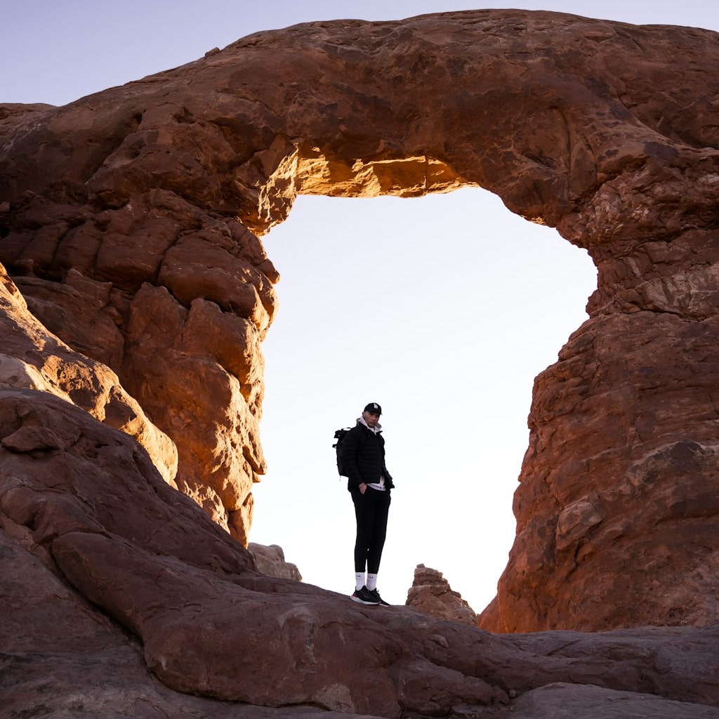
Exploring the Best Winter Desert Hiking in the Southwest United States
The American Southwest makes one of the best winter-hiking destinations in the country thanks to its combination of amenable climate, spectacular scenery, and truly vast public...
Read more


Join the adventure


©2024 Mountain House — All Rights Reserved.