


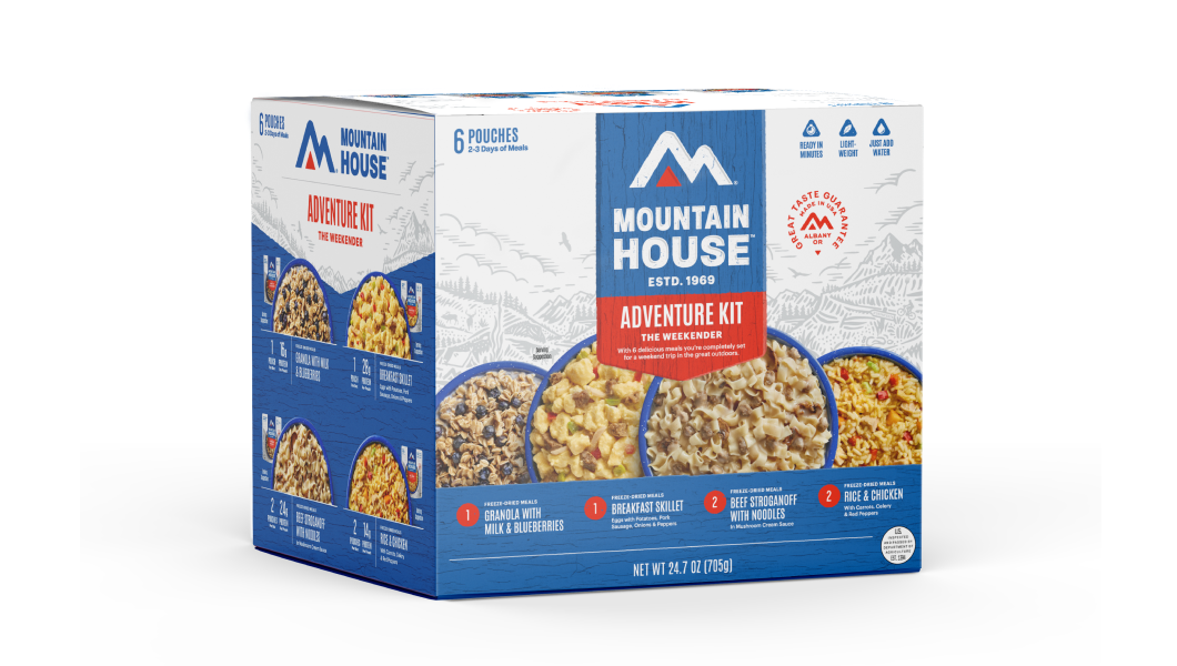
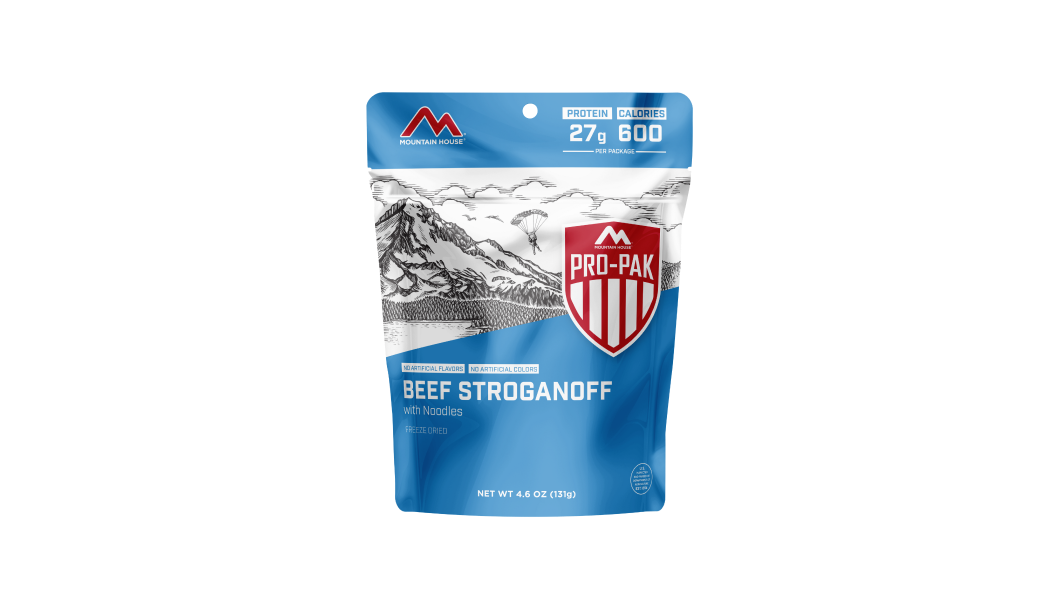


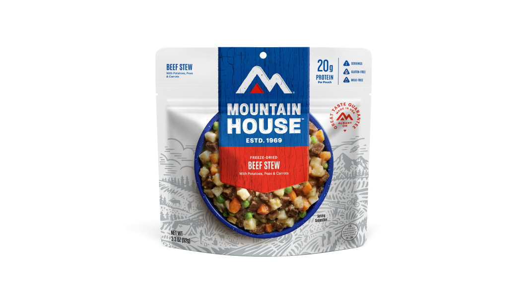


Inspired for an Adventure? Check out Beef Stroganoff - Pouch and Beef Stew - Pouch
Free Ground Shipping On All Orders


Map & Compass Basics for Navigation - Part 1
We’ve never lived in an era in which wilderness travelers are so robustly equipped to find their way and to be found. Between basic smartphone maps and fancy handheld GPS units, modern technology is a wonderful resource for the backcountry (check out our roundup of our favorite navigation apps right here) That said, the realities of the wilderness require that we don’t rely exclusively on such devices. Signals and batteries fail, computerized systems go haywire, digital maps lead us on technically impossible routes.
Whether you’re a mountain climber, a backpacker, a backcountry skier, or anybody whose recreational inclinations or professional responsibilities lead you into remote country, nothing replaces good old map-and-compass work when it comes to staying oriented out there. This is not to say you shouldn’t bring along that phone, that GPS, that emergency beacon—it’s simply to point out that it’s irresponsible to not back up those shinier, newer technologies with a paper topo map and a solid compass. They may end up saving your life!
There’s no way to cover all of the ins-and-outs of map and compass navigation in a single blog post such as this, but we’re going to sketch out the basics so you have a framework to build upon. In this article and in Part 2, you’ll learn what a topo map is, how to use a compass, and how to use a map and compass together.
The Topo Map
While a simple trail map may well be sufficient for more small, front-country recreation areas, any backcountry travelers should have a more detailed topographic map on hand. Finer-scale depictions of terrain and landcover are absolutely invaluable when it comes to orienting yourself as well as route-finding. To those new to the intricacies of map scale, it’s often surprising how many significant and obstructive landforms and ecosystems—cliffs, swamps, etc.—can be hidden on large-scale or simplified maps.
In the U.S., the best maps for backcountry users are typically the 7.5-minute quadrangles issued by the U.S. Geological Survey. On these, the scale is 1:24,000–that is, one inch on the map equals 24,000 inches, which shakes out to about 2.5 inches to a mile. Such a scale is necessary to identify the terrain features that can play a significant role in influencing or even dictating travel, from insurmountable barriers such as cliffs to avalanche-prone slopes or inviting ridgelines.
The contour interval, listed in the details of the topo map, is also important to key into. This indicates the vertical feet between contour lines: those squiggly concentric lines filling in your topo that represent constant elevation above sea level. Those 1:24,000 USGS maps often use a contour interval of 40 feet. Bolder contour lines are marked (at some point along their length) with the elevation, and with the contour interval you can thus gauge—at least roughly—the height above sea level of any point on the map, including your position.
The contour lines themselves are your illustrations of terrain: from hollows and cirques to knife ridges and summits. Closed circles represent hilltops and peaks—or, if hatched inside, crater-like depressions.
A basic but unquestionably rewarding practice when hiking, backpacking, hunting, or otherwise rambling in the wilderness is to match the contour symbols on your topo with the real landforms you’re traveling among.
Without question topo maps are most essential for cross-country trekkers, but they’re also extremely valuable for those traveling entirely by trail. After all, you can be disoriented on a clear-cut path, and terrain clues can help reorient you. Contour lines also reveal the relative challenge of the trail you’re traversing, helping you plan ahead in terms of hiking rhythm. Topo maps also show the course of both permanent and ephemeral streams as well as springs and snowfields, all of which may become essential sources of water for both backpackers and day hikers.
Navigating by Map Alone

A map alone is a powerful navigational aid, to state the obvious. Even a simple trail map is better than nothing, allowing you to locate yourself by trail junctions, stream and road crossings, and the simple course of the path itself. A topo map gives you that much more information, allowing you to identify landforms and land cover.
How to Orient a Map

Depending on your visualization preferences, you may choose to refer to your map with it oriented right-side up—that is, with North pointing up. Many backcountry travelers, however, find it more intuitive to orient the map along their forward direction so that landmarks stand in the same relation to their position as they do on the chart.
Either way, it’s a good idea when learning the ropes of map-interpretation or whenever exploring unfamiliar country to stop regularly and consult the map, using it to identify (by name or simply location) peaks, ridges, streamways, and other landmarks so that you stay aware of where you are and get to know prominent topographic features that may help you reorient yourself down the line.
Ready for more? Read on in Part 2 to learn about compass navigation, declination and more, coming soon!


Best Places to Go Winter Wildlife Watching in North America
Winter sure can bring some fierce weather: blizzards, ice storms, cold snaps, freezing rain—well, you know the drill. It also means prime time for snowsports, from snowboarding...
Read more


Exploring the Best Winter Desert Hiking in the Southwest United States
The American Southwest makes one of the best winter-hiking destinations in the country thanks to its combination of amenable climate, spectacular scenery, and truly vast public...
Read more


Join the adventure


©2024 Mountain House — All Rights Reserved.