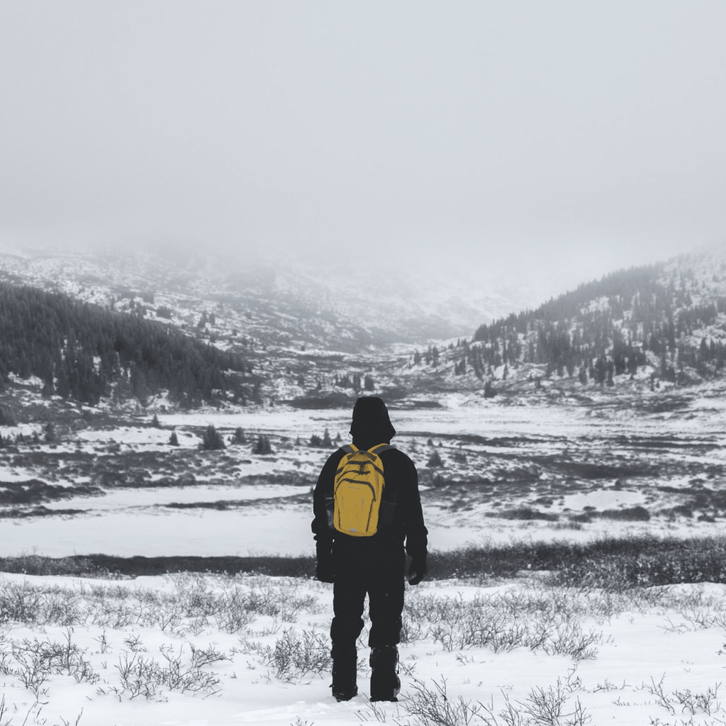
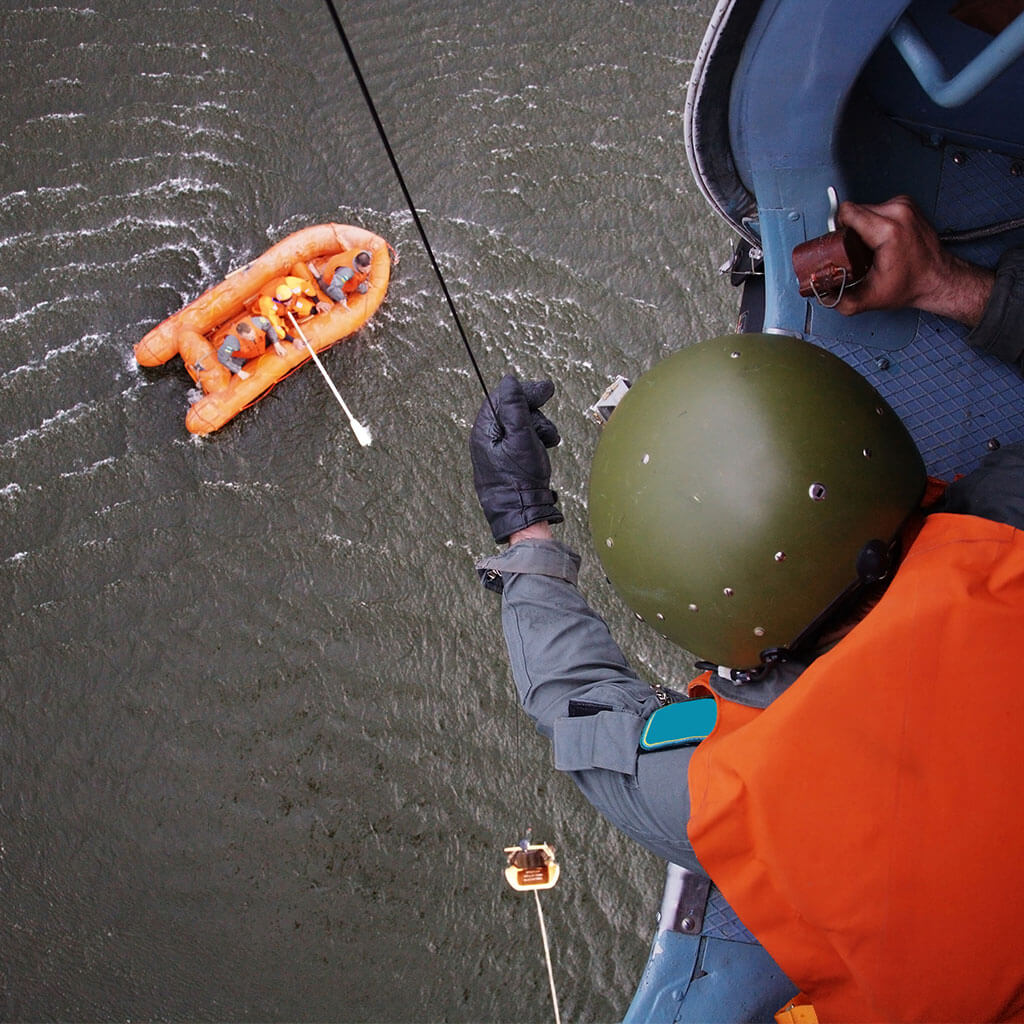
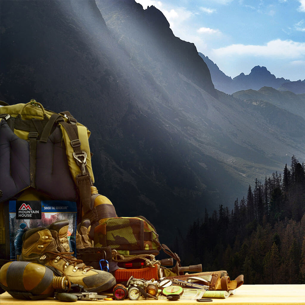
The ability to find your way by navigation tools such as a map, compass, and GPS is essential for safely pursuing outdoor activities. The responsible wayfinder comes to the wilderness armed with navigational backups, too: both a compass and a GPS unit, for example, and/or a spare compass in case one takes a dunk in the lake or falls off the cliff.
Another, time-honored form of covering your bases when it comes to staying on track in the backcountry is using locational reference points from the natural world. The steadiest and surest are celestial bodies, particularly the stars—not least, of course, our trusty home star, the Sun.
Celestial navigation is a way of locating yourself using these skymarks. Navigating by the stars is a downright ancient skill for seafarers, and modern mariners—even with all the modern navigation technology available—would still do well to learn their way around a sextant.
But rough versions of celestial navigation requiring only a reference chart and watch—or no resources at all except one’s own peepers—can also aid hikers, backpackers, and hunters out in the terrestrial wilds. In this post, we’ll run through some of the basics of how to navigate using the stars in such a setting.
The following tips are presented as if they’ll be followed by somebody out and about north of the tropics, though in many cases they can be used in equatorial and southern latitudes, too.
And before we dive in, remember, you can always learn more about general tips for backcountry navigation (including some of these celestially oriented techniques).
The Value of Learning Celestial Navigation Basics for Hiking & Backpacking
In a real emergency, when the GPS and smartphone are kaput and the compass broken or lost, knowing how to navigate by the stars may just save your butt out there in the middle of nowhere.
But there’s another benefit to mastering a few celestial-navigation basics as an outdoorsperson. Tracking the movement of the Sun and farther-afield stars can more firmly center us in the wild world, tuning us into fundamental cosmic timetables and the spin of our own big blue planet in the Milky Way.
That’s grounding in the deepest sense and can have a pleasant calming effect while we’re out adventuring, relieving us—at least for awhile—of the more hectic and cluttered routine of our typical schedule. And keying into celestial movements on that backpacking or hunting trip can train us to pay attention to them back home, extending that grounding influence into our everyday life.
Celestial Navigation Basics: Clues From the Sun
That friendly fireball sustaining life on Earth is an in-your-face sort of wayfinding reference, at least from sunup to sundown. Here we’ll run through a few ways to determine direction from the apparent movements of the Sun.
But before we do, let’s emphasize that simply paying attention to where the sun rises and where it sets each day, and where it is in the sky at its approximate zenith, can help you roughly track your relative location out in the backcountry from day to day. While not precisely locating you, this practice provides a general sense of cardinal and intercardinal directions and can alert you if you’re wandering far off-course.
Bearings of Sunrise & Sunset
Before your trip, refer to a website or almanac—or do your own calculations, which we won’t get into here—to identify the compass bearings of sunrise and sunset on given dates for your latitude. Write down the relevant bearings for your trip. You don’t need to worry about having a completely clear horizon or logging the exact moment or sunrise or sunset to get this direction, as the sun’s bearing changes only very slightly just after rising and just before setting.
Bearing of the Sun at Local Noon
In temperate latitudes in the Northern Hemisphere, the Sun is due south of you at solar noon: the midway point between sunrise and sunset. You can calculate local mean noon for the date from a chart, or—if you’ve got a clear horizon—by noting with your watch the times of sunrise and sunset (using the 24-hour clock, or “military time”), then divide the daylength obtained from these by two and adding that number to the time of sunrise. (It’ll be accurate enough for use the next day.) Checking the Sun’s position at the time of solar noon, you’ll have due south.
Finding North-South From Shadows
You don’t need a watch to determine north and south from the sun’s position at noon with this method. What you do need is a vertical object—a trekking pole, stick, or the like—and flat ground around it, plus a bit of patience. Improvise a plumb bob to ensure the reference object is exactly vertical.
Approaching noon, mark the end of the shadow cast by the object. Then wait. The shadow will shift in position and shorten, then lengthen again as solar noon is passed. When the afternoon shadow reaches the same length as your forenoon/morning mark, you mark its terminus.
Trace a line between your two marks. The middle of that line identifies the location of the noon shadow, and if you connect the shadow-casting object and that midpoint with a line it’ll run north-south.
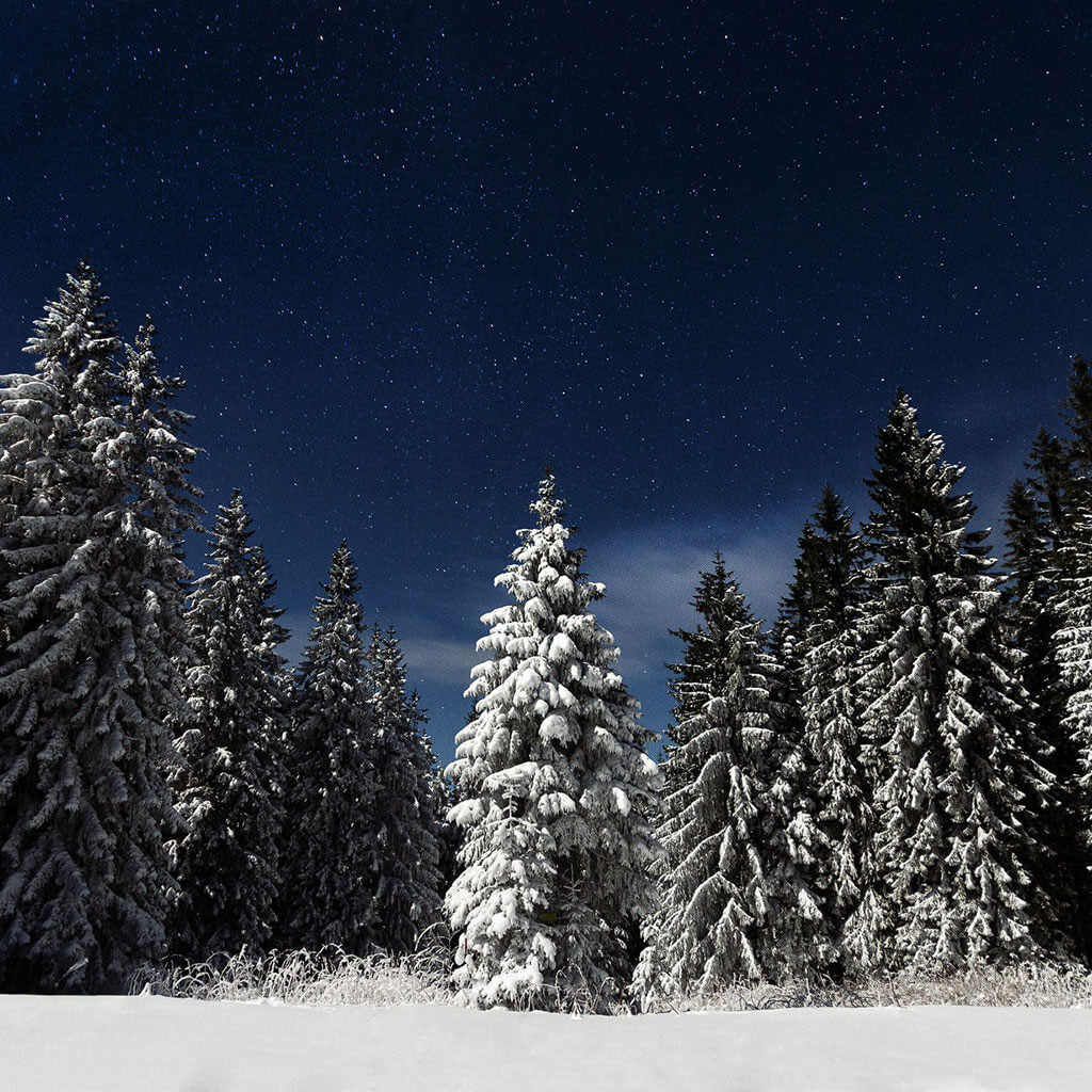
Wayfinding Using Other Stars
At night, with the Sun below the horizon, other stars take over navigational duties. You can obtain quite precise directions, and some sense of your approximate location, from those twinklers up there.
Polaris: The North Star
In the Northern Hemisphere, an otherwise unassuming-looking star called Polaris marks north year-round. Although it’s not terribly bright, this North Star can easily be located using neighboring circumpolar constellations—that is, constellations that never set. The two stars forming the front of the Big Dipper—Dubhe at the top of the cup and Merak at the base—point to Polaris: Follow an imaginary line from Merka to Dubhe and then extend it above the cup by about five times the distance between the two stars, and you’ll find the North Star. Polaris is the tip of the Little Dipper’s handle.
Polaris also lies in between the Big Dipper and another easily recognizable circumpolar constellation, Cassiopeia, which depending on the time, looks like the letter “M” or “W.” If you always envision Cassiopeia as an “M,” even when it’s upside-down, an imaginary line run straight down from the star-forming the end of the M’s shallower leg will hit Polaris at a distance about twice that of the M’s width.
Orion
The Earth’s equator extended out into space forms the celestial equator. Stars tracing the celestial equator can show you due east and west upon rising and setting, respectively.
The very familiar constellation of Orion (The Hunter) provides one such reference. Three stars form Orion’s easily recognizable belt. The northernmost of these stars, Mintaka (which is, in fact, a double star), lies just about exactly on the celestial equator, therefore indicating where it touches the horizon when rising or setting.
But because when Orion’s rising it’s difficult to sight exactly where Mintaka first appears, it’s easier just to use the middle star of the belt (Alnilam)—which identifies east or west to a “good-enough” degree for wayfinding purposes—as your point of reference.
Virgo
For a stretch of the Northern Hemisphere summer, Orion rises and sets in the daylight and thus can’t clue you into east and west. Fortunately, there’s another star visible at night during this timeframe that will.
Find the Big Dipper, then follow the curve made by the stars of its handle behind the constellation to locate the very bright star Arcturus. (“Arc to Arcturus,” is the relevant handy mnemonic.) Continue that same curve beyond Arcturus, and you’ll hit another dazzler of a star, Spica.
Spica lies in the constellation Virgo, as does our desired reference star, Zeta Virginis. Zeta Virginis is not nearly so bright as Arcturus or Spica, but it lies in between them, about two-thirds of the way from Arcturus to Spica. It marks the celestial equator, though it’s best used when setting (and thus showing west) because it’s hard to know where to look to catch it rising.
Clues From the Moon
You can use a full Moon to find south in a similar manner as solar noon. At its highest point in the sky—lunar midnight—the full Moon will be due south of you. Because a full Moon is directly opposite the Earth from the Sun, you can calculate lunar midnight using the value of local mean noon (as gotten from a chart or by measuring daylength as we described above) and then adding 12 hours to this.
A Moon bright enough to cast a shadow—which doesn’t need to be a full Moon—can be used to pinpoint lunar midnight and thus north-south in the same way as we described for sun shadows. (You’ll be up for awhile in the middle of the night, is the catch.)
A crescent Moon can also be helpful when observed well above the horizon. An imaginary line drawn between the Moon’s “horns” down to the skyline will roughly point south.
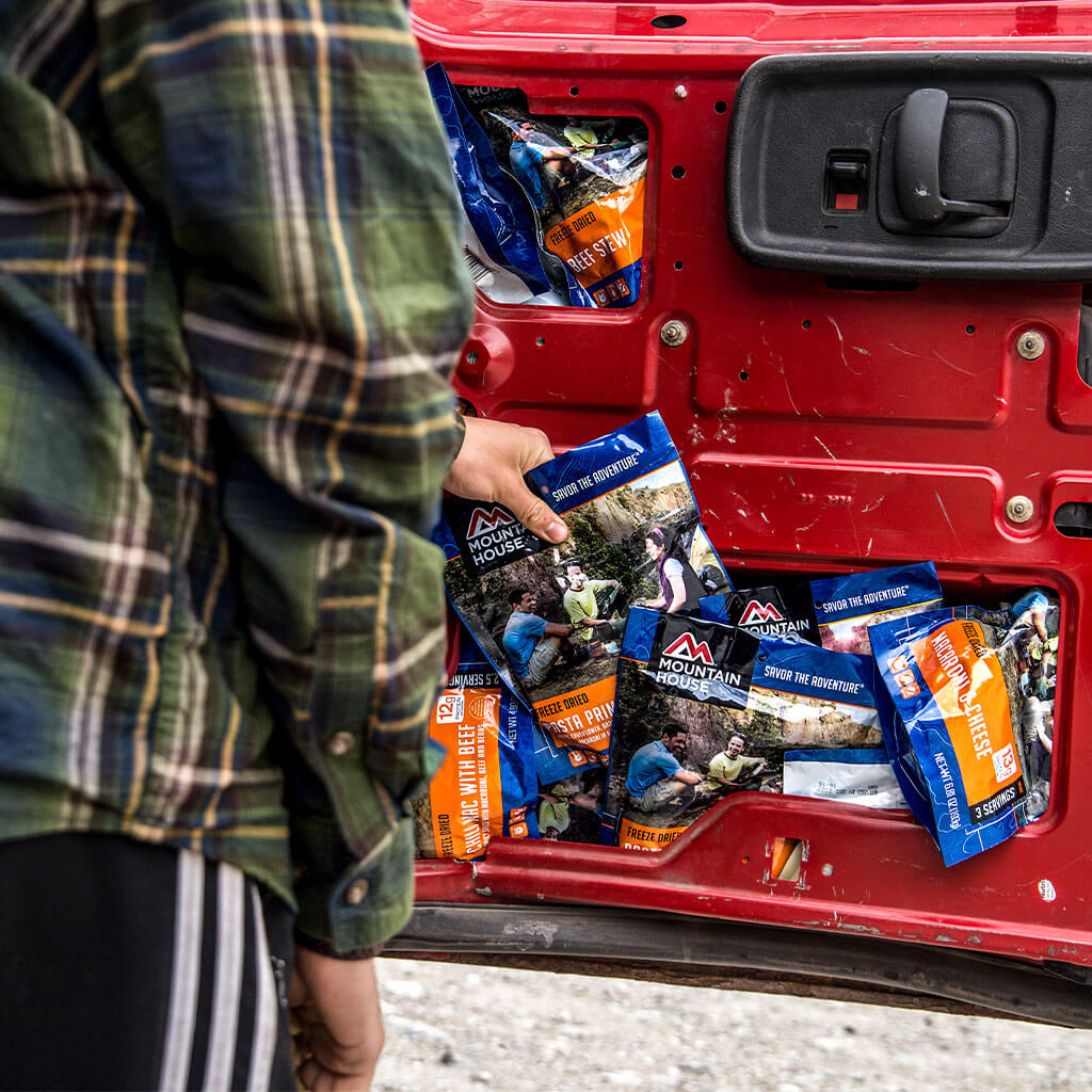
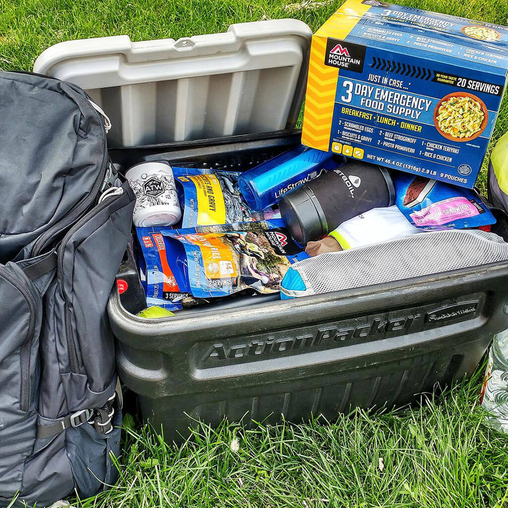
Hone Your Celestial Navigation Skills While Enjoying Mountain House Meals
Whether you’re just practicing some celestial navigation for fun and perspective or relying on it for emergency wayfinding, keep your senses as sharp as they need to be by staying well-fed with backcountry-ready Mountain House meals!


 Emergency Prep & Survival
 Emergency Prep & Survival
 Emergency Prep & Survival
 Emergency Prep & Survival
 Emergency Prep & Survival
 Emergency Prep & Survival
 Emergency Prep & Survival
 Emergency Prep & Survival
 Emergency Prep & Survival
 Emergency Prep & Survival
 Emergency Prep & Survival
 Emergency Prep & Survival
 Emergency Prep & Survival
 Emergency Prep & Survival
 Emergency Prep & Survival
 Emergency Prep & Survival

 Emergency Prep & Survival
 Emergency Prep & Survival
 Emergency Prep & Survival


 Emergency Prep & Survival

 Emergency Prep & Survival


 Emergency Prep & Survival
 Emergency Prep & Survival
 Emergency Prep & Survival


 Emergency Prep & Survival
 Emergency Prep & Survival


 Emergency Prep & Survival
 Emergency Prep & Survival


 Emergency Prep & Survival
 Emergency Prep & Survival


 Emergency Prep & Survival

 Emergency Prep & Survival


 Emergency Prep & Survival


 Emergency Prep & Survival