In an earlier blog post we talked about some things to watch for in a weather forecast ahead of a planned outdoor adventure. In this follow-up of sorts, we’re going to talk a little “field forecasting,” offering some practical tips for predicting backcountry weather in the very short term while you’re actually out there.
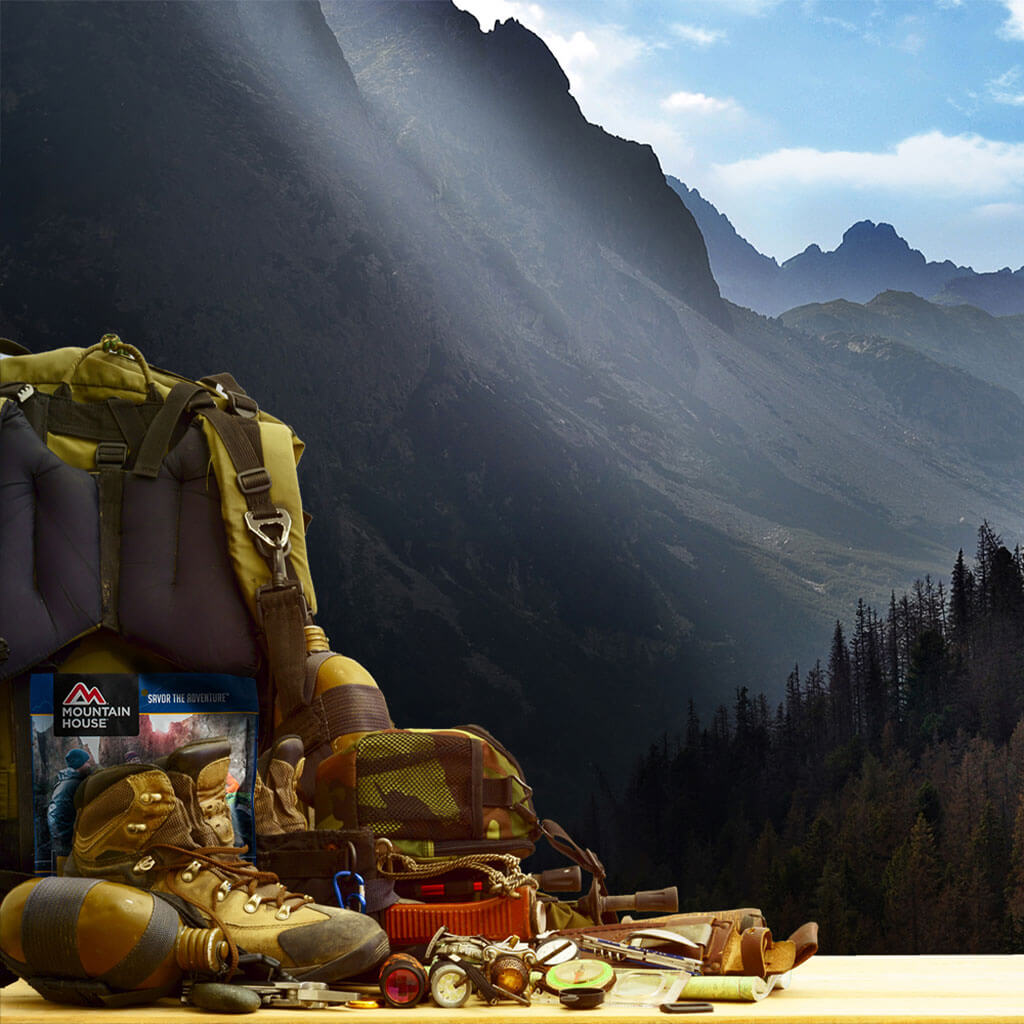
Now, keep in mind this stuff doesn’t replace doing your homework ahead of time—in short, following some of the advice we laid out in the first post, and of course, packing for unexpected weather shifts anytime you hit the trail. It also doesn’t replace the value of having a portable NOAA weather radio in your pack to reference during your backpacking, hunting, or what-have-you trip. That’s part of basic outdoor preparedness.
But given the changeability of the weather, and given how much decision-making leeway you have in choosing safer routes or actions depending on what the sky’s doing, it’s worth learning a few fundamentals of field meteorology and survival weather forecasting. Read on for some of those nuts-and-bolts, including severe weather safety tips for the wilderness!
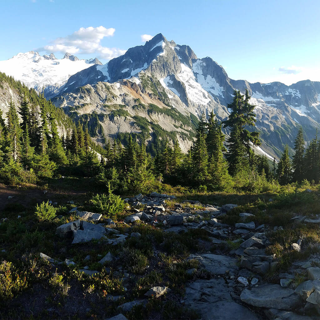
Practical Cloudwatching: Clues to Approaching Weather Systems
Maybe you’re an enthusiastic amateur skywatcher. Or maybe the extent of your meteorological savvy was acquired in about third grade. Either way, there’s a good chance you know at least a handful of the basic cloud types: puffy cumulus, wispy cirrus, “blank” stratus, stormy cumulonimbus.
There’s huge value in becoming better acquainted with cloud taxonomy as an outdoorsperson. What types of clouds are in the sky and to what relative extent hold a lot of clues to impending weather.
That said, some rough-and-ready field meteorology doesn’t necessarily require knowing the vocabulary of cloud species, or understanding the intricacies of what particular cloud formations or combinations signify.
Fronts, marking boundaries between air masses of different characters, bring with them a lot of our most active, intense weather. Because of how the sliding of one air mass over or under another along a frontal boundary often forms clouds, changing patterns of cloud cover can clue you into an approaching front—and give you a heads-up to ready yourself for winds, precipitation, maybe even violent storms.
We can technically talk about a progressive increase in cirrus, cirrocumulus, cirrostratus, altocumulus, altostratus, stratocumulus, etc. as a front approaches. But here’s a super-simple, rough way to think about it: If clouds are increasing dramatically in extent, be on alert. If there’s a sequence of increasing higher, mid-level, and then low-level clouds—basically, if the sky seems to be “lowering”—there’s a good chance a front’s getting close.
More experienced backcountry weather watchers can judge whether an approaching front is likely a cold front, a warm front, or perhaps the pseudo-combination thereof called an occluded front. Warm fronts are slower-moving than cold fronts. Their comparatively gentle glide of approaching warmer air over cold, denser air masses tends to produce stratiform or sheetlike clouds more likely to produce gentler, more sustained precipitation.
By contrast, a fast-moving cold front with its abrupt boundary—a hard nose of cold air forcing warmer air upwards on a steep curve—is more likely to produce cumulus or “heaped” clouds. These often rise high enough they generate strong precipitation and thunderstorms.
Cold fronts tend to create more violent, dangerous weather. That said, the extended cloud cover and rain or snow associated with a warm front can make for longer-lasting impacts—scuttling summit plans, for example.
Occluded fronts show a combination of warm-front and cold-front characteristics. Stationary fronts, as the name suggests, have halted forward movement and may produce a prolonged period of cloudiness and/or precipitation.
Clues From the Sun, Moon, and Stars
The increasing moisture and cloud cover of an on-marching front can affect the appearance of celestial bodies. These offer further clues to a sharp-eyed backcountry traveler.
Through the thin cover of a cirrus deck, a halo around the Sun or the Moon can forewarn of frontal precipitation perhaps a day or two out. A tighter ring (a corona) suggests a somewhat lower cloud deck, perhaps of altostratus, and therefore the potential for precipitation within 24 hours.
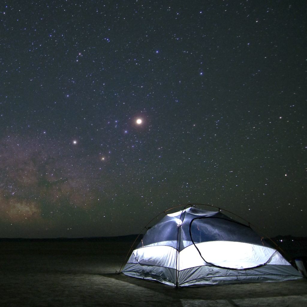
You may get advance warning of increasing moisture or encroaching cirrus at night by noticing a gradual dwindling of stars.
Barometric Pressure
Falling atmospheric (or barometric) pressure is a classic indicator of an approaching low-pressure system and some potentially bad weather associated with it. The exact readings of the barometric pressure are less important than the overall trend: falling or rising. The latter typically precedes a spell of high pressure and calm weather.
You can purchase a portable barometer—perhaps as part of a handheld weather instrument that also measures temperature, wind speed, and other useful variables. But you can also gauge atmospheric pressure with a tool many backpackers and hikers carry: an altimeter. If you’re noticing your altitude reading dropping even though you aren’t actually descending in elevation—for example, overnight at camp—you know atmospheric pressure is falling.
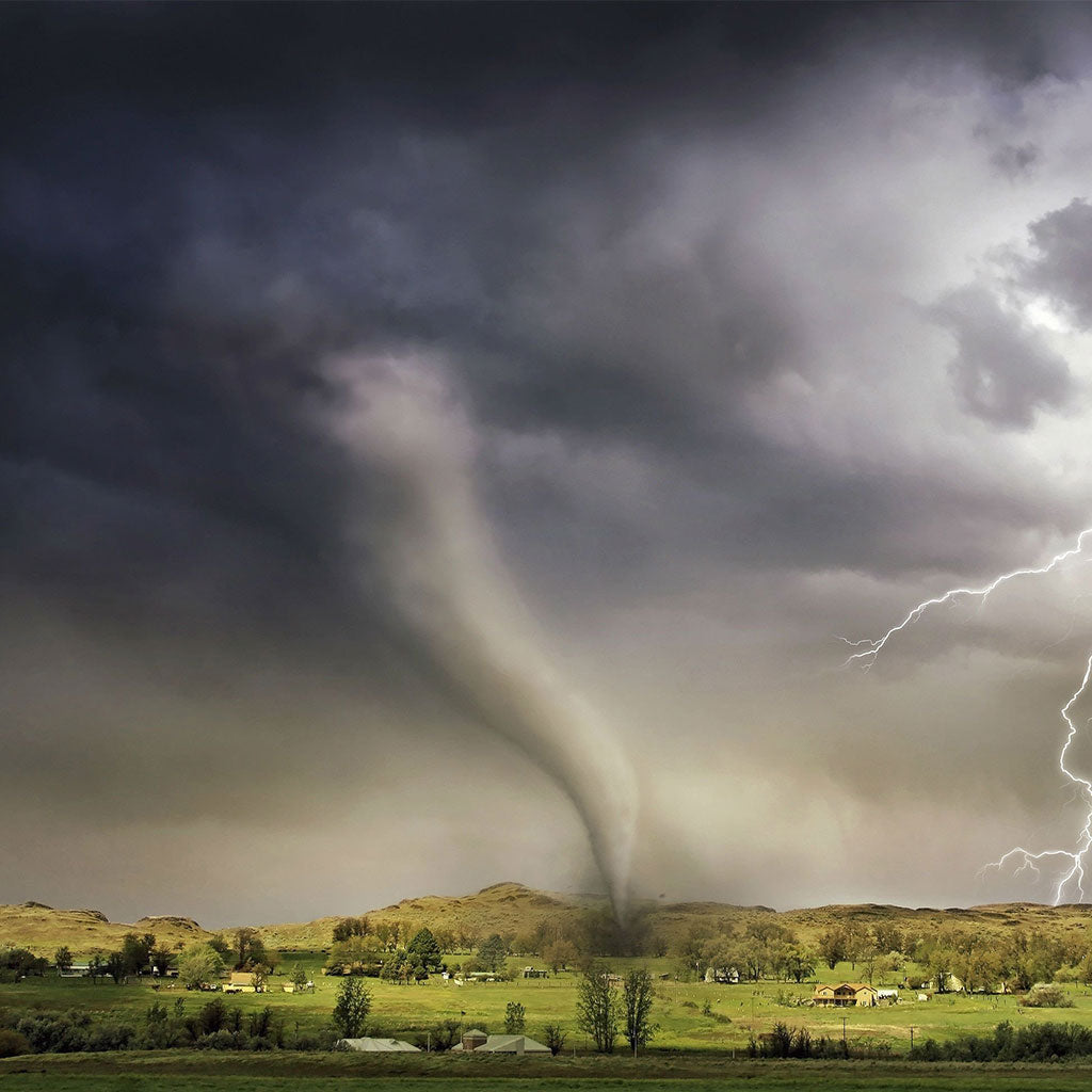
Thunderstorm Safety: Tracking Cumulus
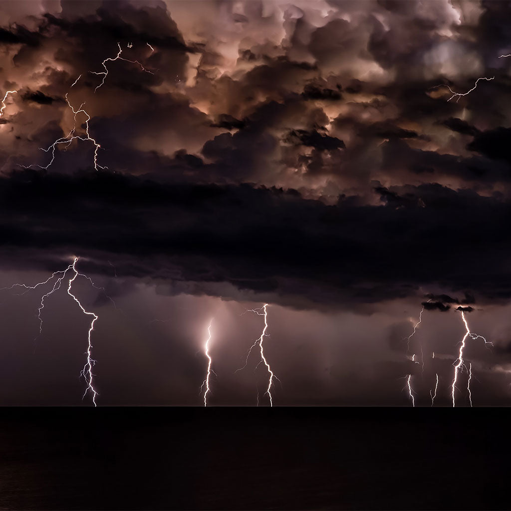
Thunderstorms occur when cumulus clouds evolve into cumulonimbus. Such tall, billowing cloud heads, which in full maturity often develop a flat, “anvil” top where the cloud hits the stable upper boundary of the lower atmosphere, resulting from progressive upward development in cumulus clouds. Because thunderstorms represent some of the most dangerous weather in the backcountry, it’s definitely worth familiarizing yourself with the basic stages of cumulus evolution and intensification.
This is particularly true when you’re dealing with the so-called “air mass thunderstorm”: a localized storm resulting from daytime heating and convection, which is very common in the summer. (This is opposed to the frontal thunderstorms that develop, for example, along the leading edge of cold fronts and which may overtake you fully formed.)
By afternoon on a typical summer’s day, intense heating from the Sun has produced rising pockets of air, or thermals, which rise on account warmer air is less dense. If they reach a condensation level, cumulus clouds form with a cauliflower-like top representing the upward, convective movement.
What’s important to key into are the timing of cumulus clouds’ appearance and changes in their shape across time. Afternoon fleets of “fair-weather” cumulus are common, and if they arise, say, in midafternoon, they often don’t really have time to develop into more volatile convective clouds. But if you notice cumulus materializing in mid- or late-morning, be on guard: This may reveal there’s enough atmospheric instability, bolstered by solar heating, to produce thunderstorms by midday or afternoon.
Look at the tops of cumulus clouds when assessing future t-storm risk. Flat-topped cumulus suggests there’s a strong layer of stable air capping further convection. This normally means a lower chance of thunderstorm development down the line.
But if cumulus increasingly form billowing turrets or stacks, and continue to visibly deepen, there’s a chance that they could transform into cumulonimbus clouds.
Another reason to look at the top of cumulus clouds is to gauge how relatively sharp their edges look. If the top of the cloud head starts to get a wispy, blurred look, that indicatesglaciation is occurring: The suspended droplets of water forming the cloud have reached sufficient altitude to turn into ice crystals. The interplay of ice crystals and water droplets within a cloud is part of what produces the electrical gradient necessary for lightning.
If you notice showers beginning to fall from a towering cumulus, you should definitely be aware that lightning may occur. Water or ice particles that are sufficiently heavy to fall out of the bottom of the cloud also suggest there’s been enough swirling movement within to produce electrification.
Distance & Direction of Thunderstorms
One of the most useful techniques in field forecasting is estimating how far away a thunderstorm is, and which direction it’s moving. The trick comes from the difference between the speed of light and the speed of sound.
When you see a flash of lightning, begin counting in seconds until you hear the follow-up thunder. (If you’ve got a long-range view, of course, you may not register thunder at all. The booms of apparently silent “heat lightning” are simply too far away to hear.) Divide the number of seconds between the lightning flash and thunderclap by five, which gives you the distance of the t-storm from your position in miles.
Continue doing this to identify whether the gap between lightning and thunder is increasing or decreasing. If it’s increasing, the storm’s moving away from you. If it’s decreasing, the storm’s approaching, and you should seek a safe place to shelter.
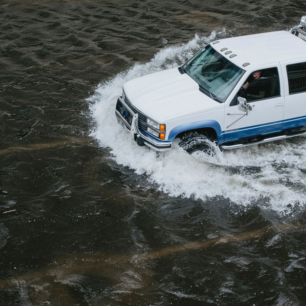
It’s worth noting here that a distant thunderstorm that never draws near to you can still result in hazards. In desert country, dangerous flash floods prompted by far-off cloudbursts may roar down dry washes or canyons and threaten hikers.
Other Clues to Approaching T-Storms
In a thickly forested or mountainous country, you may not be able to see an approaching thunderstorm until it’s basically on top of you. One clue you may be in the storm’s path is the sudden appearance of cirrus streaming overhead: This may be “blow-off” from a thunderstorm anvil. Or you may find yourself under encroaching overcast with a strange, bulging, or pouched look. This ismammatus, and although it may occasionally be encountered outside thunderstorms, it often underhangs a cumulonimbus anvil.
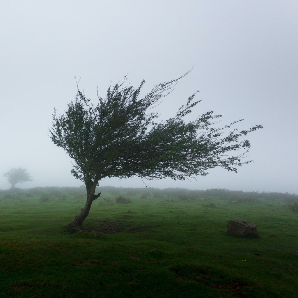
Strong gusts overtaking you—maybe perfumed with ozone—can give you an 11th-hour warning of an impending storm: They may be the disturbance’s outflow winds spreading out along its edges.
Weather Considerations Under Stable, Calm Conditions
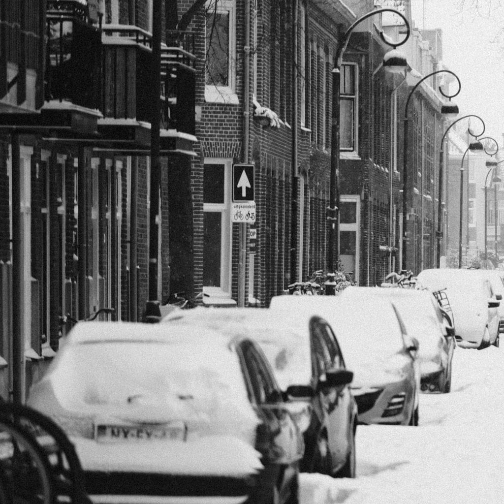
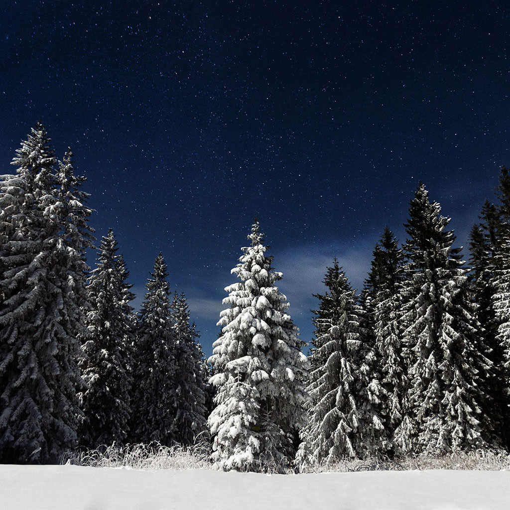
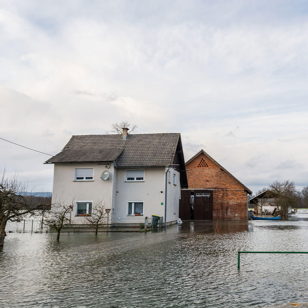
We covered a bit of this in our previous post, but remember that weather doesn’t have to be stormy or otherwise dramatic to pose problems—or at least create discomfort for the unprepared. If you notice clouds clearing in the late afternoon or early evening at higher elevations, or while out adventuring in the shoulder season, expect a chillier night. Cloud cover insulates, and under clear skies surface temperatures can rapidly drop once the sun sets.
When fronts and other large-scale weather patterns aren’t dominating local conditions, gravity winds and other terrain-influenced air movements may determine how pleasant a campsite is. In calm conditions, depending on the season, valley bottoms or the base of slopes where cold air pools may be uncomfortably clammy places to pitch a tent.
Avalanche Field Forecasting
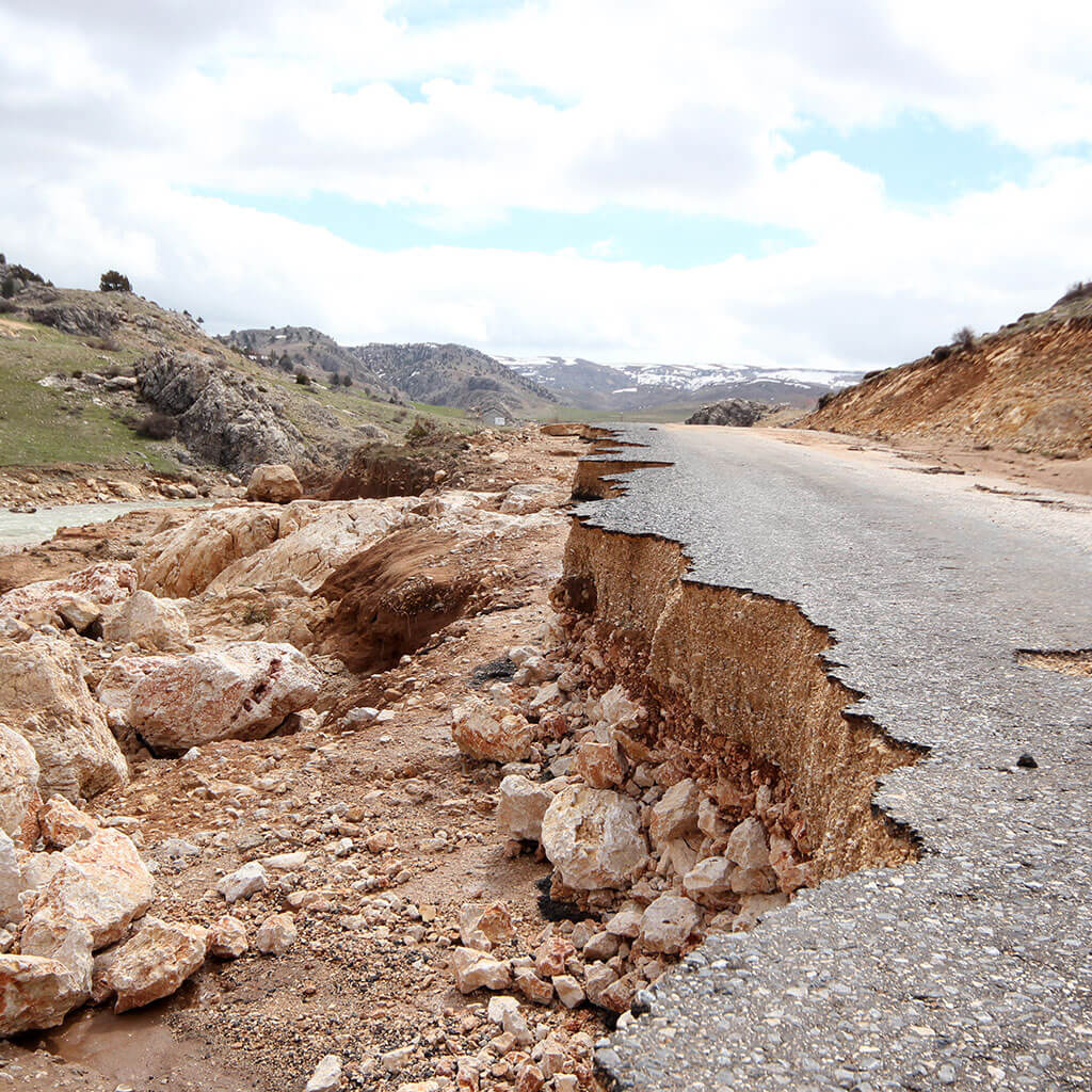
Travelers in avalanche terrain need to know how to read the weather in terms of how it may make snow slides more or less likely. Heavy snowfalls aren’t the only thing to worry about: Everything from rapid thaws to strong winds can rapidly enhance avalanche danger. Rather than going into detail, we’ll direct you to one of our past posts on avalanche safety that covers some of that risky weather.
Study Backpacking Weather Forecasting Tips Before Your Next Trek
You don’t need to become a de facto meteorologist to learn a few useful field-forecasting tricks for the backcountry. And really, simply by paying more attention to the sky when out backpacking, paddling, climbing, or hunting, you’ll improve your weatherwise eye in short order!


 Emergency Prep & Survival
 Emergency Prep & Survival
 Emergency Prep & Survival
 Emergency Prep & Survival
 Emergency Prep & Survival
 Emergency Prep & Survival
 Emergency Prep & Survival
 Emergency Prep & Survival
 Emergency Prep & Survival
 Emergency Prep & Survival
 Emergency Prep & Survival
 Emergency Prep & Survival
 Emergency Prep & Survival
 Emergency Prep & Survival
 Emergency Prep & Survival
 Emergency Prep & Survival

 Emergency Prep & Survival
 Emergency Prep & Survival
 Emergency Prep & Survival


 Emergency Prep & Survival

 Emergency Prep & Survival


 Emergency Prep & Survival
 Emergency Prep & Survival
 Emergency Prep & Survival


 Emergency Prep & Survival
 Emergency Prep & Survival


 Emergency Prep & Survival
 Emergency Prep & Survival


 Emergency Prep & Survival
 Emergency Prep & Survival


 Emergency Prep & Survival

 Emergency Prep & Survival


 Emergency Prep & Survival


 Emergency Prep & Survival